A valley that is almost real: why the world is seeded, not mapped
Genesis never says where the ark was built. Why the game's valley is grown from a single number instead of copied from a map, how it is made to look and behave like a real river valley, and why it is the same for every house.
Genesis gives Noah his building instructions in three verses. They begin:
Make thee an ark of gopher wood; rooms shalt thou make in the ark, and shalt pitch it within and without with pitch.
Genesis 6:14 text
The next two verses add the size, the window, the door and the storeys: what to build, of what, and how big, but never where. Genesis does not name the place, and nobody knows it text.
A game still needs ground to drive the first stake into. This page is about the valley we made for it: why it is not a real place, and why it is the same, down to the last tree, for every house.
Why not a real map
We first thought of building the valley from real elevation data, and decided against it: the world should be almost real, not a copy of one place, and a copy would take far more work. So the terrain is seeded, not mapped: generated to look and behave like a real river valley at real scale, but no place on any map modelled. A real map would also say more than we know, pointing at one valley and saying "here".
What "seeded" means
A seed is a single number. The game's world builder starts from it and works through millions of sums: shaping the land, wearing it down, laying out the river, planting the trees. The same number always gives the same valley, to the last digit.
The point is fairness. Houses are ranked by how long their build takes on the game's calendar, which only means something if every house faces the same task. So every house gets the same map, the same resources and the same weather modelled. If one house found cypress beside its site and another had to haul every log three kilometres, the ranking would measure luck.
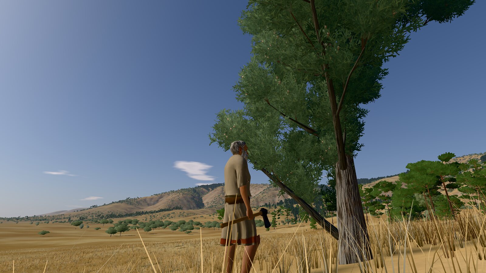
The trees are part of it: about 131,500 trees and reed clumps, each with its species, place and height, identical for every house modelled. Each house works in its own copy, so a tree felled in one still stands in the others.
"The same" has to mean exactly the same on every computer. Basic arithmetic comes out identical to the last digit everywhere, but browsers may differ in the last digits of a sine or a cosine study. So the world builder works out its own from fixed formulas, and the finished valley's fingerprint, a check number worked out from all of it, is identical on the game's server and in Chromium, Firefox and WebKit modelled.
Shaped by water
The world builder starts from a designed shape modelled: a flat valley floor 700 to 1,000 metres wide, valley walls rising 250 to 400 metres into rolling hills, and long ridges on the horizon 7 to 18 kilometres away, running with the grain of the Zagros mountains.
Then water goes to work, with methods from published research study. The more water drains through a place and the steeper it is, the faster a stream cuts into it: the "stream-power law", solved after Braun and Willett (2013). Thousands of seeded raindrops cut rills and gullies and lay fans where the slopes ease, loose ground slumps until it is stable, and soil creeps downhill. The game runs this for about 80,000 of the method's model years over the wide landscape, and another 60,000 nearer the site. Its erosion rate is chosen for the look of the land, not measured, so the figure counts how much shaping the method does, not the age of a real valley modelled. Out come branching side valleys and spurs that nobody drew.
The river
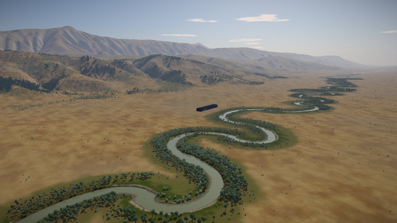
A river on a flat floor swings from side to side in meanders, and river scientists describe its bends with a shape called a sine-generated curve, refined for bends that lean and bends flattened at the top study. The game's first river used one smooth curve, and from the air it looked like a drawn snake, every bend like its neighbour. Real meanders are irregular study, so the river is now built bend by bend, each with its own length, swing, lean and flatness: lazy swings, tight loops, lopsided bends and straighter reaches modelled.
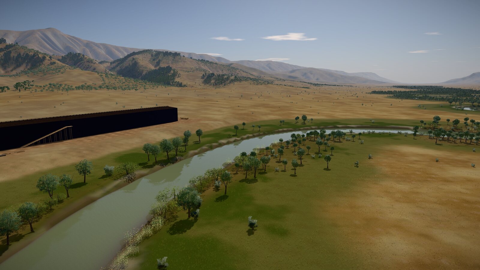
It is a gravel-bed river about 50 metres wide when full, with a steep cut bank and a deep pool on the outside of each bend, and a gravel bar on the inside that stands dry in summer modelled.
At real scale
The ground you walk and work on is stored as heights every 4 metres over a square 6.1 kilometres across, filled in to 1 metre as you move. Coarser grids reach out to nearly 41 kilometres, because the horizon is 20 kilometres away. Storing the play area at 1 metre would take 144 megabytes; the whole layout takes 28 modelled.
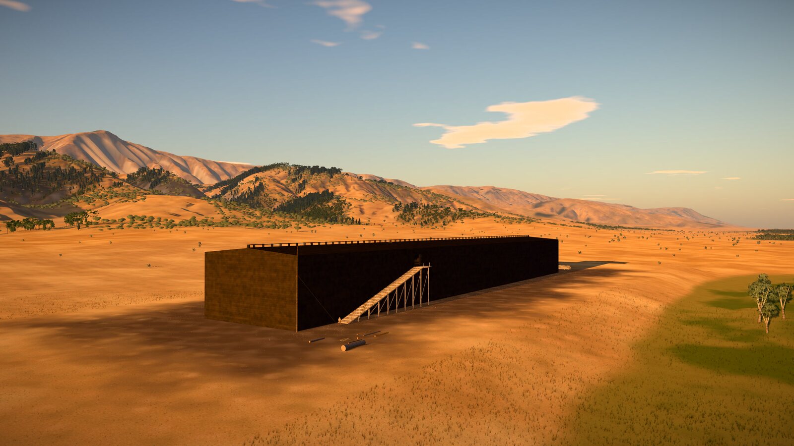
The building site is a level area of 300 by 90 metres on a low terrace beside the river, about 5 metres above the valley floor modelled. A bend of the river passes about 90 metres away, and the first slopes rise 0.6 to 2 kilometres off modelled.
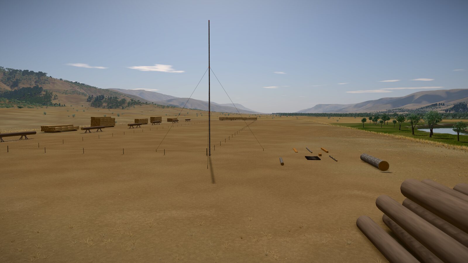
Trees where they would grow
For every 4 metres of ground the world builder weighs the slope, the moisture, the distance to water and the height above the floor, and a habitat model turns that into trees per hectare for each species modelled, from field studies of the region's woods study. Wild cypress, the game's gopher wood, grows in groves on steep, shaded limestone and in ravines, up to 250 trees a hectare, with Calabrian pine mixed in. Brant's oak stands in open woodland over the hills, about 65 to the hectare, and Persian juniper on high, dry ground. Willow, Euphrates poplar and tamarisk line the river, with reeds in the shallows modelled.
One gap we should own: we found no published count of trees per hectare for wild cypress, willow or tamarisk. The cypress figure comes from how much ground its stands cover, 25 to 75 % on limestone study; the others are our estimates modelled.
About 19,900 cypress stand within three kilometres of the site modelled. The game's reference design, one sound way of building the ark among several, uses 7,932 medium-sized trees modelled. But near the site the trees are young and small, and the big ones stand further out, so every house faces the same choice: near and small, or far and big. There is more about the cypress in What was gopher wood?
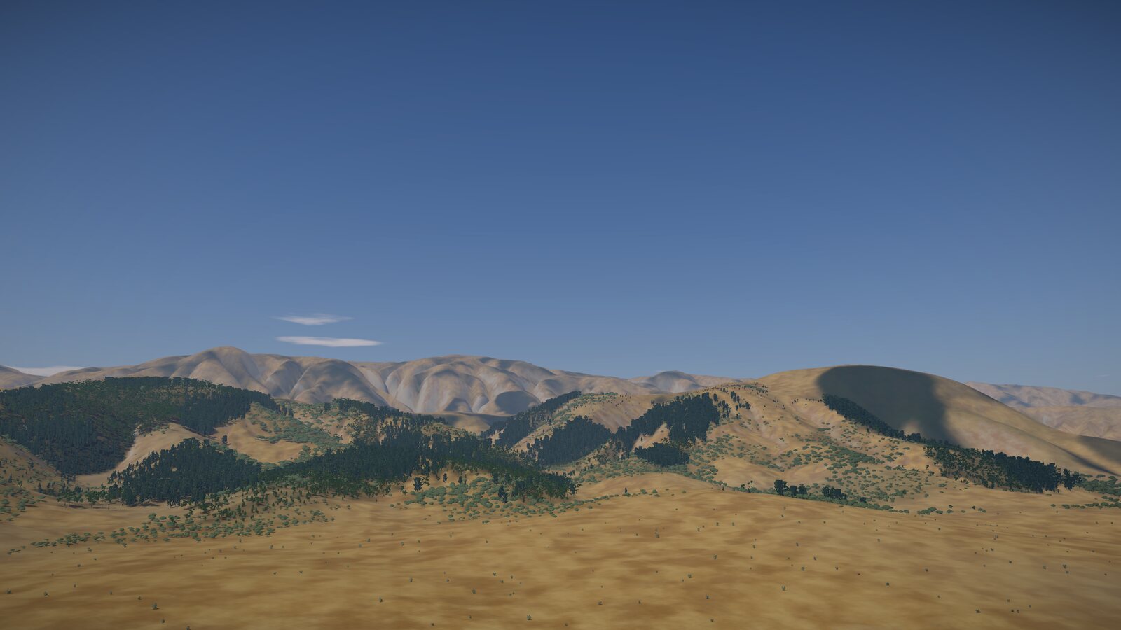
Where on earth
Its setting is real: the hill country around Mesopotamia, in the foothills of the Zagros and Taurus, at about 36 degrees north, the latitude of Mosul and Erbil modelled. Its trees are all native to those hills and rivers study.
The latitude sets the sun's path, and with it the working day: the daylight (sunrise and sunset by NOAA's equations study) less two hours for meals and rest: about 7¾ hours of work at midwinter and 12½ at midsummer modelled. And in summer the shamal, a steady north-westerly, blows down Mesopotamia; in the valley it is set at about 3 metres a second modelled. A falling tree feels it, and the server and every computer use the same value, so they agree where it lands.
The weather
The weather will be normal, with rain sometimes, on a fixed, seeded run through the seasons, the same for every house modelled. Wet ground will be heavier going, and pitch cannot be laid in the wet. Heavy rain, drought and wind will come as hardships on the same dates for every house, so they surprise the players but not the ranking. None of this is in the game yet, and whether it rained at all before the flood is still an open question in the plan (Genesis 2:5–6) text.
Still to come
The plan also gives the valley a bitumen seep for the pitch, and clay and stone, at real distances from the site modelled. They are planned, not yet built. When they come, the distances will be part of the puzzle, as the trees' are now.
What it means for the game
Every house starts in the same valley, with the same trees on the same slopes and the same river about 90 metres from the stakes. The valley is almost real, and exactly fair. What happens next is up to the house, and that is the only difference the ranking measures.